Sunday, March 18, 2012

The Mississippi Delta 5: Arcola


This is the fifth post on the Mississippi Delta. This is not the delta of the Mississippi River that protrudes south into the Gulf of Mexico. Rather, when most people refer to "the Delta," they are thinking of the rich alluvial plain that lies between the Mississippi and Yazoo Rivers, with Vicksburg marking its southern limit and Memphis the northern. The map above, from the US Geological Survey (downloaded from Wikipedia), shows the area. The delta has a unique cultural, racial, and economic history. Before the American Civil War, it was one of the richest cotton growing areas in the world and attracted wealthy planters, who imported black slaves to work the plantations.

According to an article in the Vicksburg Post on March 18, 2012, by Terry Rector (Warren County Soil and Water Conservation District), the Mississippi delta soils are among the most productive for agricultural crops in the country. Alluvium is the name given to river-deposited soils, which consist of minerals and materials derived from the hinterlands that form the river's drainage basin. Two common soil types found in the Delta are the Memphis Silt Loam and the Commerce Very Fine Sandy Loam. These were among the easiest for farmers to work and were the first to be converted from forest to cropland two centuries ago. When farmers referred to good Deer Creek soil, they were referring to the sandy loam soils along much of Deer Creek.

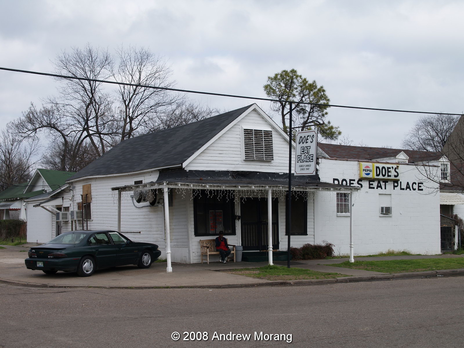
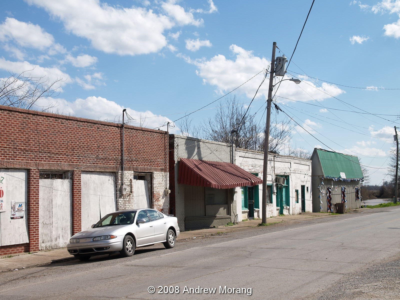
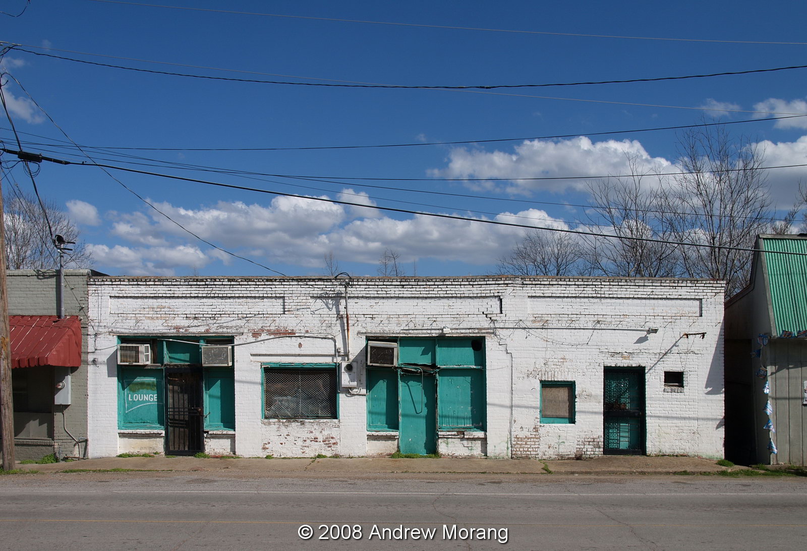
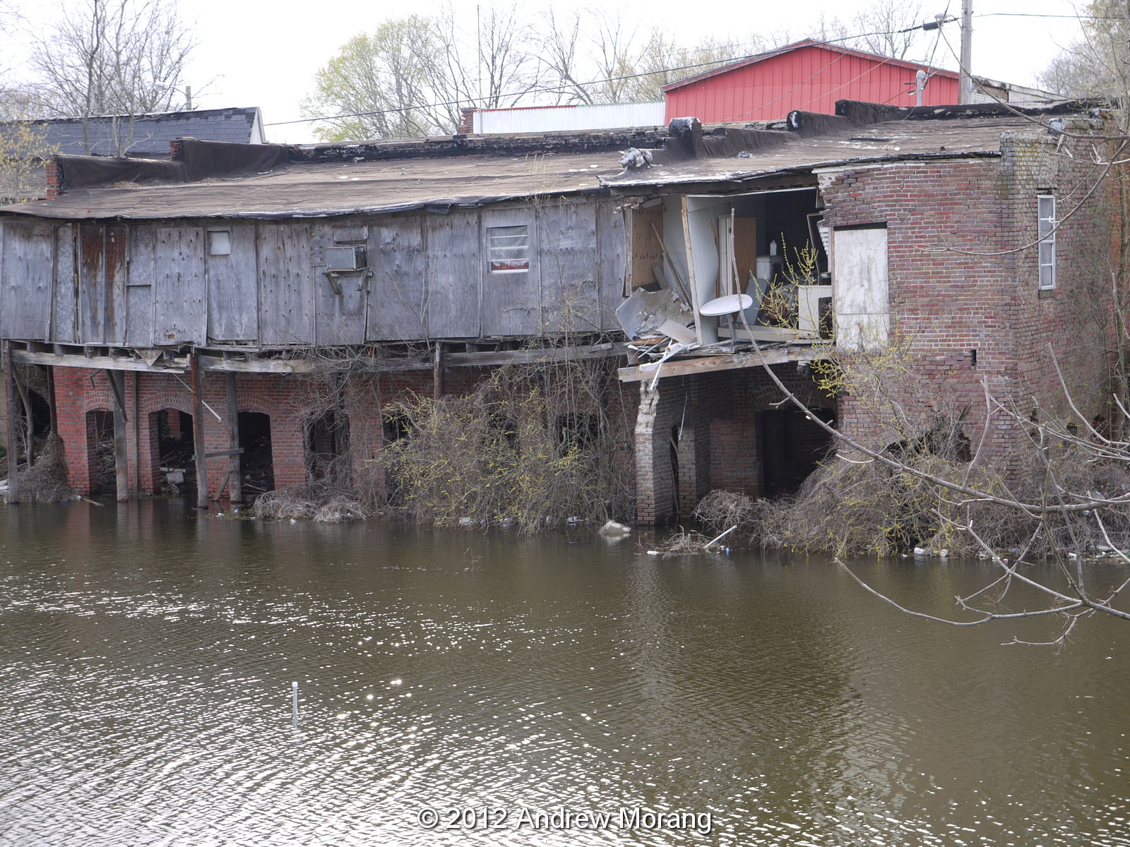
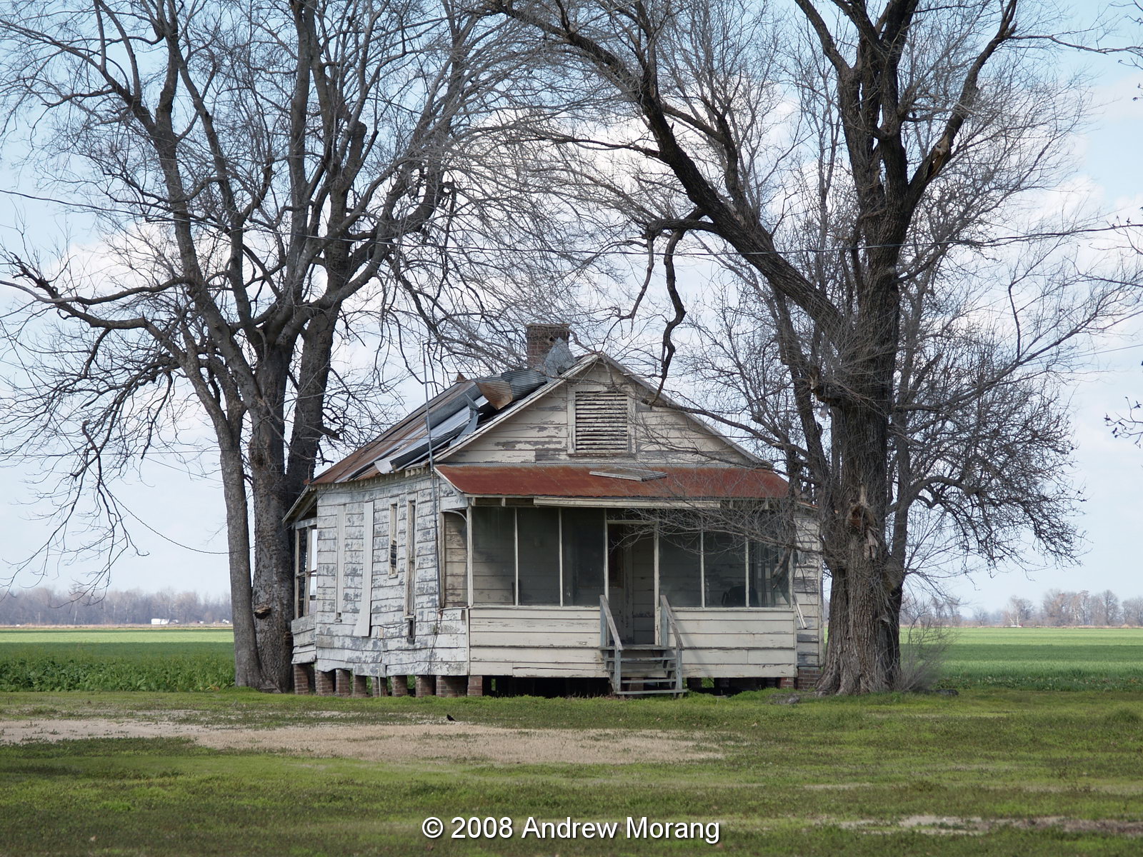
Times have changed and the Delta is now economically in very rough condition. In the late-1920s (following the great 1927 Mississippi River flood) thousands of farm workers left for the North to escape brutality, abject poverty, and racism and seek factory jobs in cities like Chicago and Detroit. Also, mechanization of agriculture, especially mechanical cotton harvesting, eliminated the jobs of thousands of farm workers. According to Wikipedia, "From the late 1930s through the 1950s, the Delta experienced an agriculture boom, as wartime needs followed by reconstruction in Europe expanded the demand for the Delta region’s farm products. As the mechanization of agriculture continued, women continued to leave the fields and go into service work, while the men drove tractors and worked on the farms. From the 1960s through the 1990s, thousands of small farms and dwellings in the Delta region were absorbed by large corporate-owned agribusinesses, and the smallest Delta communities have stagnated." As late as the 1960s, many towns like Rolling Fork, Leland, and Greenville were still active, bustling communities. But now many of these towns are semi-deserted, with empty business strips, collapsing shops, and grim poverty.

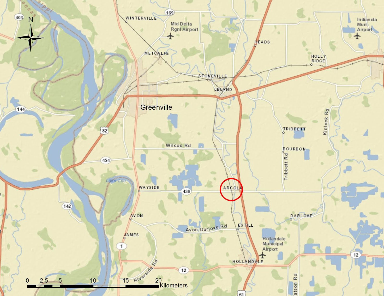
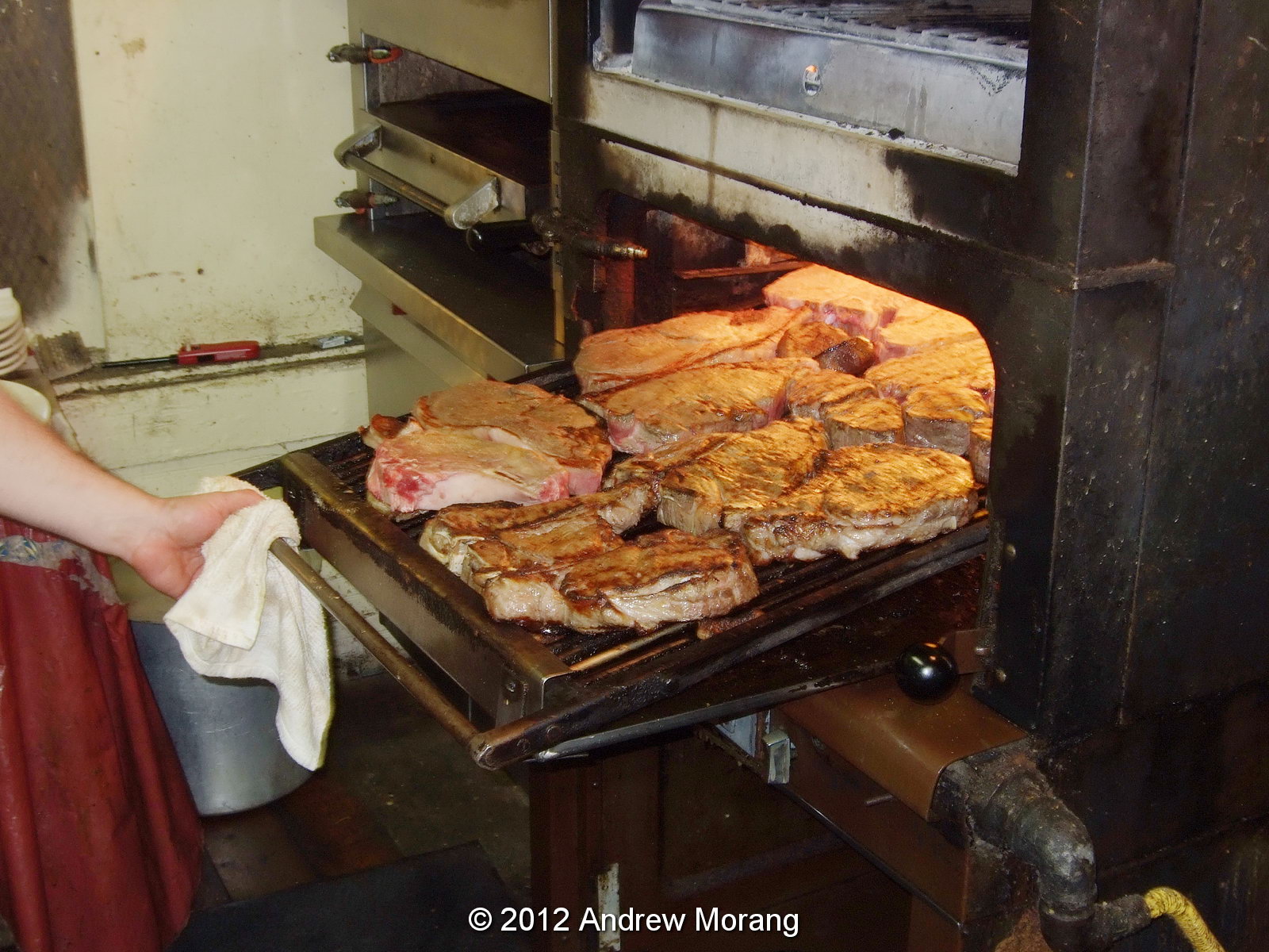
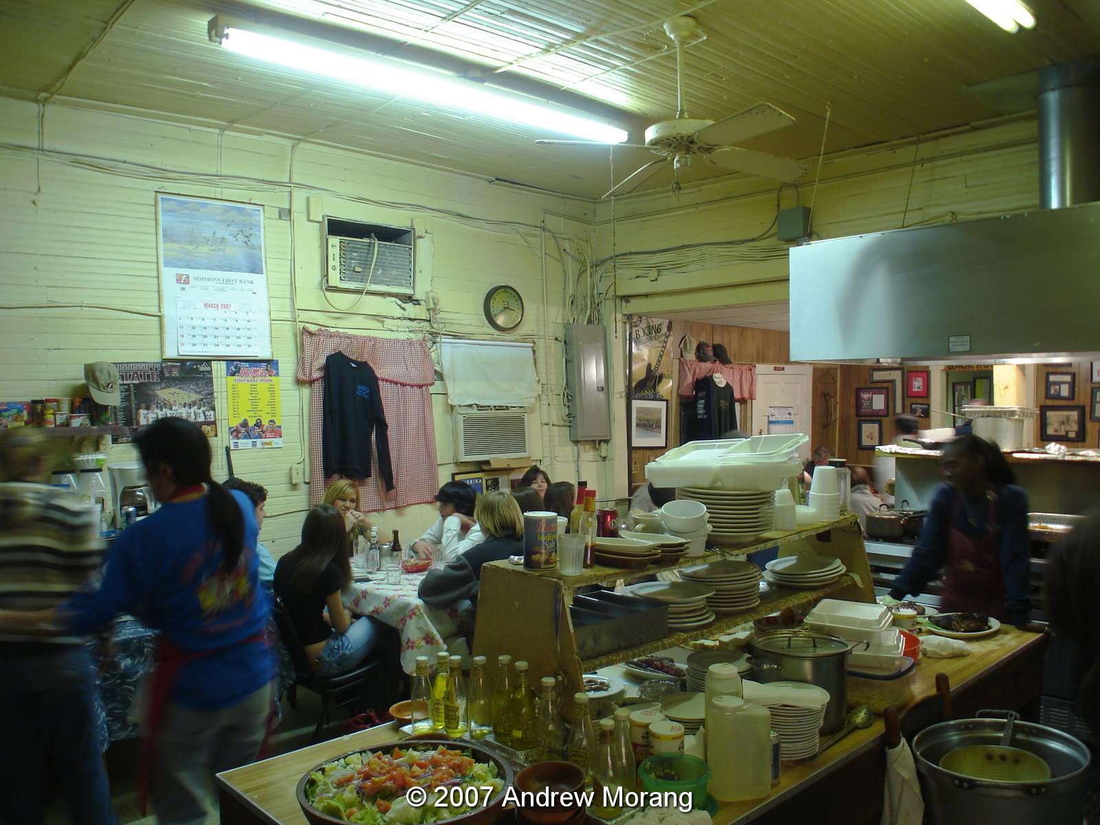
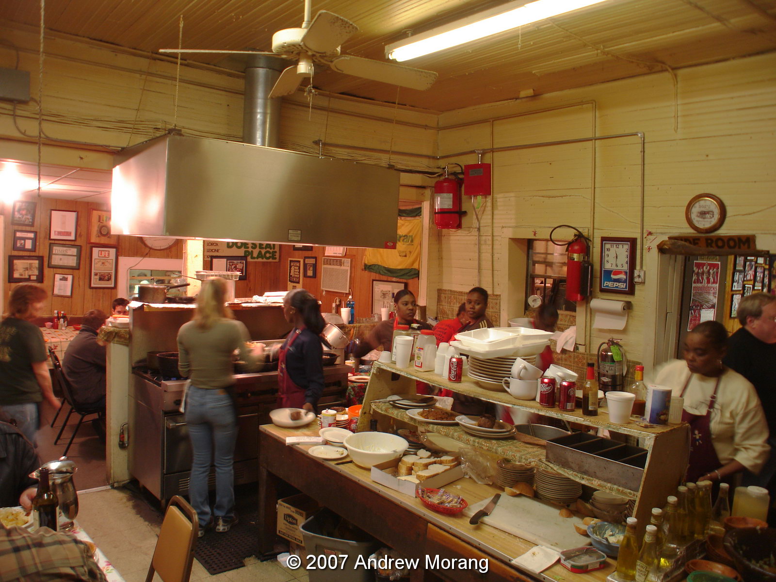
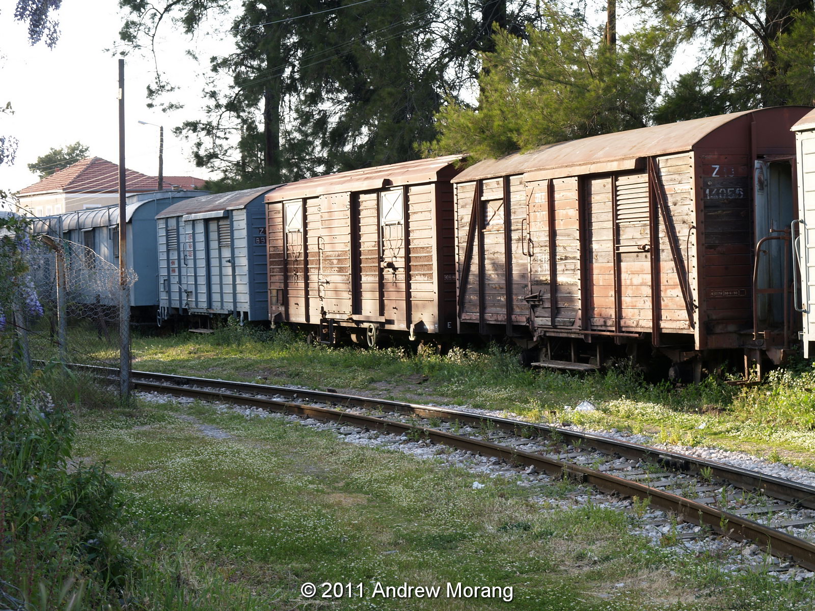
The photographs below are from Arcola, a town on Deer Creek north of Hollandale and south of Leland. The railroad once came through here, but the tracks were removed in the 1980s.
Deer Creek Drive is the main strip. All that is left is a gas station/convenience store and several lounges (or dives). Even on a sunny day the strip is depressing.
Here is another lounge. It says a lot that a small town has two drinking spots.
Here is a deserted super market on Martin Luther King Drive.

An architectural oddity: many of the shops on Deer Creek Drive were built out over the banks of the creek on brick pillars, As you can see, the floors have collapsed.
Farm houses once dotted the countryside. But now, many, like this example at 1862 Hwy 438, are deserted.

All photographs taken with Olympus E-330 and Panasonic G1 digital cameras.

Sunday, March 11, 2012

Two-Room Schoolhouse, Carpenter, Mississippi


Carpenter, Mississippi, is a small farming community about 4 miles south of Utica, in Copiah County. At the corner of Highway 18 and Dentville Road stands a wood schoolhouse.

According to Preservation in Mississippi, the school dates from 1921 and was built according to State Plan No. 3 N.S. As you can see, it is is poor condition, but 10 years ago, it was reasonably intact.

Like all schools in the pre-air-conditioning and pre-electricity era, it featured large windows to let in the light and air. It must have been cheerful for students to be surrounded by nature, and maybe a bit distracting. Let's see: modern air-conditioned school with high walls that looks like prison architecture versus cheerful cottage with expansive windows and natural light.

If anyone can tell me more about this site, I welcome the information.

(All photgraphs taken with a Panasonic G1 camera with 14-45 mm G Vario f/3.5 lens, tripod-mounted. The map (Figure 1) is from ESRI® ArcMap GIS software.)

Thursday, March 8, 2012

The Mississippi Delta 4: Carnivore's Delight - Doe's Eat Place, Greenville, Mississippi

Dear readers, this is the fourth post in an irregular series on the Mississippi Delta (see the 2010 post on Yazoo City and the 2011 posts on mansions at Lake Washington, and the collapsed red barn in Rolling Fork).


Visiting Greenville and feeling hungry? More important, feeling really carnivorous? Then you need to go to Doe's Eat Place. Doe's has been in business since the 1940s, and hungry visitors from all over the United States come here for the steaks. In the segregated era, white gents used to sneak in the back to eat here. Doe's is at 502 Nelson Street in a rather downscale part of Greenville (sadly, most of the city now fits that description). Security is not a problem because the street is well lit and Doe's hires an armed guard to patrol visitor's cars.

The Southern Foodways Alliance did an oral history of Doe's, well worth checking:
http://southernfoodways.org/documentary/oh/does_eat_place/index.shtml


It is just an old wooden building. Go in the front door and there is the cook on the left, broiling steaks in a gas-jet stove. If you have to wait in line, you can get a beer from a cooler. If this place ever catches fire, it will go up in a fireball because of the decades of cooking grease embedded in the floors and walls.

Here are the steaks in the broiler.

The second room is a combination dining - cutlery-storage - salad-preparation - potato-frying room.


Everyone is loud and happy and chewing away. The colors in these photographs are a bit off because I experimented with the color balance and never did get it right. Dinner is expensive, but you get a lot of ambiance with your meal. You can also order shrimp and tamales.


As you can see, you will leave Doe's well fed. Bring your own wine.

The neighborhood saw better days decades ago. Nelson Street is lined with shotgun houses and cottages, and in the last few years, many have fallen down or been razed. This house is 416 Nelson.

This little cottage is at 420.

Finally, 410 Nelson. I have many more photographs to post for future articles on Greenville, but most are Kodachrome slides and will take some effort to scan.

Sunday, March 4, 2012

Deserted train station, Milies, Greece (B&W film)


This is the fourth essay dealing with Greek railroads.

The quiet village of Milies (Greek: Μηλιές) is the end station for the narrow gauge line that runs from the seaport of Volos into the interior of the Pelion Peninsula. Pelio is a rugged, mountainous region in east central Greece. The lush mountainsides are draped with forests of beech, chestnut and plane trees. The cherries, apples, and apricots are said to be the finest in Greece (and I agree!). Pelio was so rugged, it had little communication with the rest of Greece until the late 1800s. In winter, heavy snow makes roads impassible. During the centuries of Turkish occupation, the Greek villagers here were renowned freedom fighters.

The satellite photograph from NASA shows the peninsula with a view northeast towards the Aegean Sea. Volos is at the head of the bay in the left center.
Because access to the mountainous peninsula was so difficult, the goal of the railroad project was to improve transport and integrate the area into Greece's economy. According to Wikipedia, "The 600 mm (1 ft 1158 in) gauge line from Volos to Milies, a distance of 28 km, was constructed between 1903 and 1906 by the Italian engineer Evaristo De Chirico." Service began in 1906. Construction was very difficult because of the need for six stone bridges, one iron bridge, protective walls, tunnels, and aerial pedestrian bridges. The photograph above shows an example of the arch bridges, all built by hand by skilled rock masons.


When I took these photographs in 1994, the line was unused and the setting had a charming, sleepy, overgrown look to it. Service had been discontinued in the 1970s, but may have been recently restored for steam locomotive tourist trains.

In the 1990s, there was a well-known bakery here where Athenians would buy bread before returning to the city (about a 5-hour drive to the south). The village ladies above had probably seen it all: strange tourists with tripods and cameras, city-slickers with bags of fresh bread and cherries.

I took these photographs with a Rolleiflex 3.5F twin-lens reflex camera with 75 mm f/3.5 Planar lens (5-element version). Film: Tri-X Pan Professional (120-size), developed in Kodak HC-110 developer. The negatives were scanned on a Noritsu system. The map was made with ESRI ArcMap software.

Friday, February 24, 2012

The Kalávryta Narrow-Gauge Rack Railroad, Peloponnese, Greece


The Kálavrita (Καλάβρυτα) Railway was engineered by an Italian company in 1885-1895 in the fantastic gorge of the Vouraikós River. The original steam locomotives are long gone and have been replaced with modern diesel-electric cars, but nothing detracts from the magnificent scenery or from the achievement of the engineers some 120 years ago. The route starts in the coastal town of Dhiakftó and proceeds south (uphill) through the gorge to a high fertile plateau. Kalávryta is in the East Central part of the prefecture of Achaea. You can drive there through the mountainous and scenic Peloponnese, but many people opt to park their car at Dhiakftó and take the famous train for a day-long excursion.

This is the station in Kalávryta (2480 ft altitude). Although in use on weekends, it is pretty quiet and has a lost-in-time look to it. The town is historically noteworthy for two events. First, at the nearby Monastery of Ayia Lávra, Germanos, the Bishop of Patras, raised the flag of revolution against the occupying Turks on March 21, 1821. This eventually led to Greek Independence. The second event is more tragic. On December 13, 1943, German occupying troops massacred 1436 males over the age of 15 and burnt the town (from Blue Guide Greece, 1973 edition). (This photograph is a scan of a Kodachrome slide.)
Here are the young beauties in the old rail car.


Zachloroú is the first stop north of Kalávryta, where many people get off the train and hike downhill through the gorge. In my case, I took a taxi from the coast to this station to begin the hike. The route is part of the E4 European long distance hiking path (if you are really energetic, you can walk the E4 from Tarifa, the southernmost point of mainland Spain, to Crete!). There are two tavernas right at the edge of the rail line. One of them specializes in delicious roasted rooster and local retsina, where you can fortify yourself with calories in preparation for the 4-hr trek. One of the nice things about travel in Greece is that even small rural places prepare amazingly good food. There is also a nice little hotel if you want to stay the night (perhaps you had too much retsina...).


As you proceed downhill, you pass stone work sheds and water tanks, which have been restored and painted. The Ο.Σ.Ε. must have put a lot of money into the project.

All the track was replaced in 2008-2010. From Wikipedia: "The railway is single line with 750 mm (2 ft 5½ in) gauge. It climbs from sea level to 720 m in 22.3 km with a maximum gradient of 17.5%. There are three sections with Abt system rack for a total of 3.8 km. Maximum speed is 40 km/h for adhesion sections and 12 km/h for rack sections." The total route is 33 km.


The gorge gets more and more rugged, and you wonder how the engineers managed to tunnel and bridge their way up this valley. What ambition. The tunnels are interesting because you need to be sure you are not in one when the train comes. The first time I walked the route in 2008, the system was closed while the tracks were being replaced, but the next time, I had to remember to look for the train. It's really not a problem except for the bridges and tunnels.

Finally, as you approach the coastal plain, the gradient levels out and you have an easy walk to the depot in Dhiakftó. The geology is also fascinating, and you pass through regions of conglomerate, sandstone, limestone, and alluvial outwash.


At Dhiakftó, the excursion train meets the main Athens-Peloponnese line (also narrow-gauge). A new full-gauge rail is being built to connect to Patras, but I do not know if the new line will come to this rail yard or be routed further inland.

This is the train barn. I wish I could have gone in and explored, but I was with relatives who wanted to move on to lunch.

For more information: http://www.odontotos.com/index-en.htm (accessed 11 July 2016).

The 2011 photographs were taken with an Olympus E-330 digital camera. Older frames are from film.