Wednesday, November 25, 2015

Mississippi River Basin Model - continuing decay, November 2015

The former U.S. Army Corps of Engineers' Mississippi Basin Model in Buddy Butts Park in Jackson, Mississippi, remains abandoned and neglected by the City of Jackson. As you might expect, the site is more and more overgrown and vandalized than ever. On this visit, my friends and I explored some of the buildings, which are gradually collapsing.
The first building, next to the water tower, was a pump house partly built over a sump. The catwalk is still intact despite the roof collapsing.
 A steel shed once contained air compressors and other machinery of unknown purpose.
This building once contained the Stevens chart recorders and may have been an executive control center for the model. I showed photographs of the old Stevens recorders in my 2010 article, but all have disappeared now.
These shelves once contained rolls of paper with holes representing some sort of coding (octal?). The flow of water via electrical or pneumatically-actuated valves was controlled by these paper strip charts.
This is one of the inflow controllers. I wish it was intact and wish I knew how it worked.
My friends and I came across another building that we had not explored before.
This building contained the remains of two huge air compressors. I am still not sure exactly how the compressed air was used, but it had something to do with the pneumatic controllers and the chart strip recorders.
This viewing platform was once used by tourists who visited the site. In the 1960s, the Basin Model was a popular tourist attraction (as was the Waterways Experiment Station before 9/11). I have read that many of the former German prisoners of war who worked on the site in World War II came to see the functioning model.
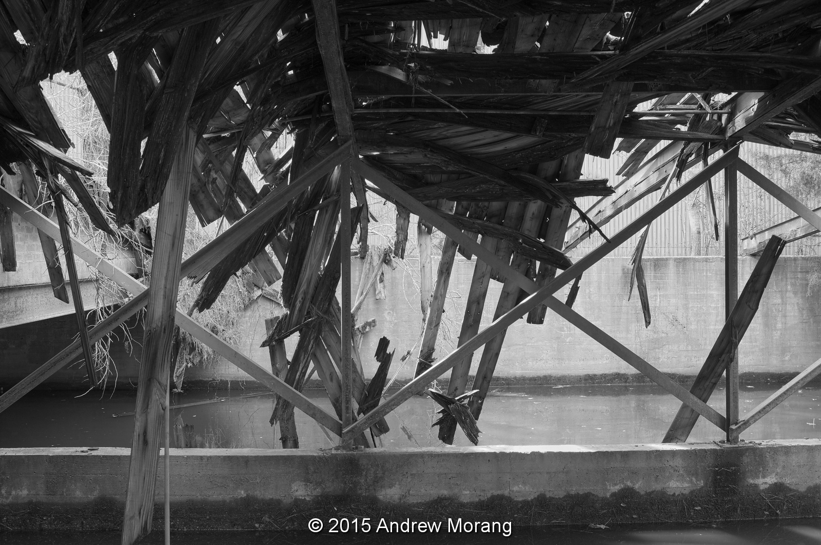
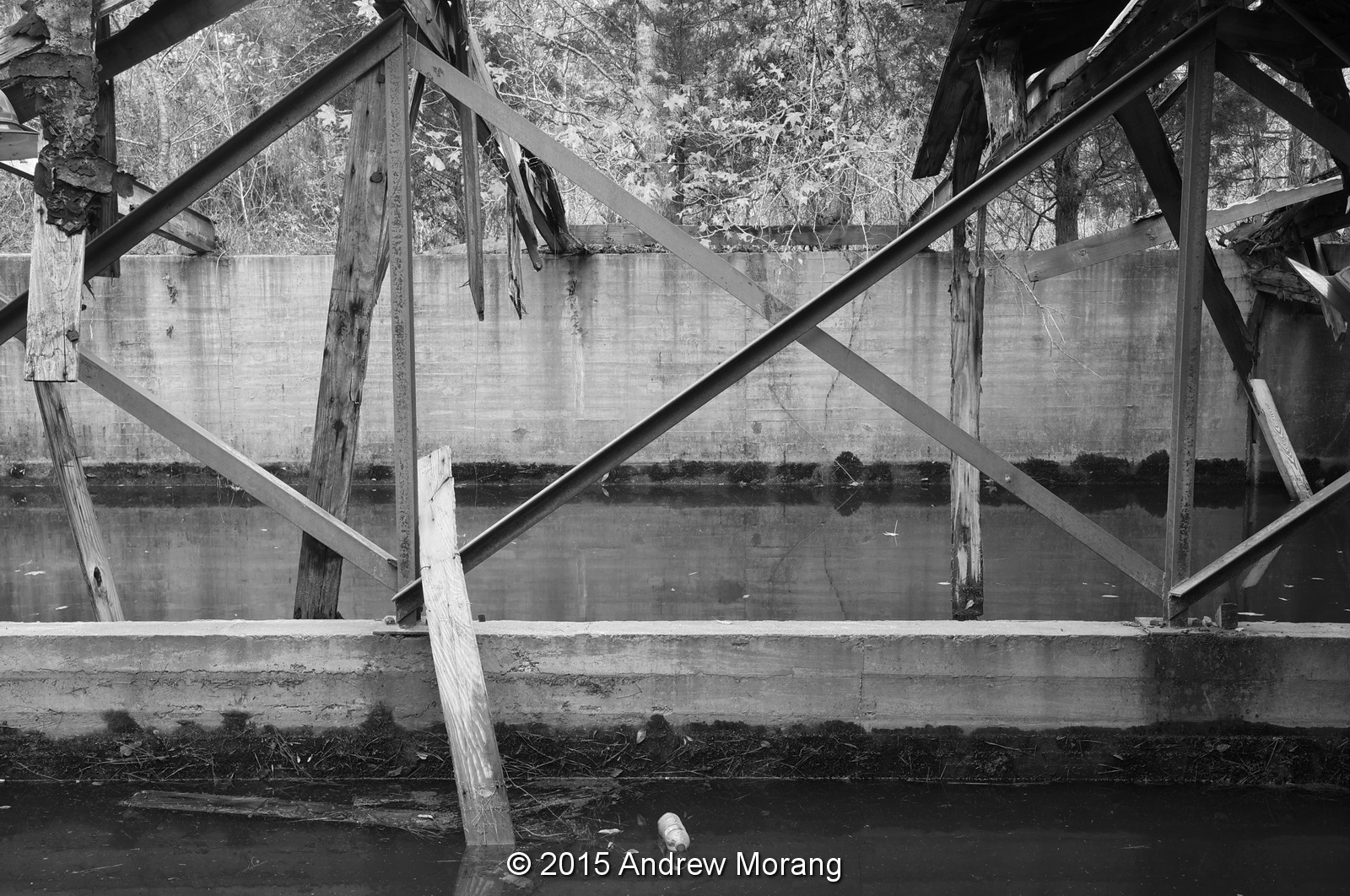
The model is a peaceful place on a quiet Autumn afternoon. Visit it soon before the buildings and concrete terrain elements are completely overgrown.

For some earlier articles, please click the links:

Photographs taken with a Fujifilm X-E1 digital camera with a Fujinon 27mm f/2.8 lens. Raw files processed in PhotoNinja software.

UPDATE JULY 2017:  A volunteer organization has been formed to clean and clear the site and develop it as an education/interpretive center. Readers interested in participating in the cleanup work, please contact: 

Sarah McEwen
President, Friends of the Mississippi River Basin Model
601-376-9131
Twitter: @MSRiverBasinMod
Facebook: @FriendsofMississippiRiverBasin Model

Wednesday, November 18, 2015

Old Hattiesburg High School - neglect and decay

Thomas Rosell wrote an article for Preservation Mississippi on November 18, 2015, titled Not Good News from Hattiesburg. He documented the continuing collapse of the historic Easton High School. Thomas's article jogged my memory, and I found some photographs that I took in 2011 during a quick drive through town of the Old Hattiesburg High School at 846 North Main Street. 
This must have once been a handsome and proud building. I had never seen it before and was struck that such an edifice could be abandoned so carelessly. I read in the Hattiesburg American that Hurricane Katrina caused severe damage in 2005, followed by arson in 2007.
I was alone and did not want to venture inside, but I took some photographs of the doorways. Notice the steel bracing behind the handsome limestone entry porch. Hmmm, do our contemporary mega-schools have limestone entry halls?
Like many schools in the early 20th century, there were separate Boys and Girls entrances. But there may be good news: a November 16 article in the Hattiesburg American describes a proposal to develop the building into "age-restricted" housing. 
On a more optimistic note, the Italian Renaissance Revival-style Union Station and New Orleans & Northeastern Passenger Depot, at 308 Newman Street, has been restored and serves as an intermodal transportation center. The city acquired the building and land in 2000 and completed a 5-year, $10 million renovation in 2007. The Grand Hall is now used for art exhibits and social events. It's nice to see gorgeous old buildings like this still in use and respected for their architectural uniqueness.

Photographs taken with a compact FujiFilm F31fd digital camera.

Tuesday, November 10, 2015

On the Waterfront - Piraeus, Greece

Piraeus (in Greek: Πειραιάς Pireás) is the port of Athens. Piraeus is a separate municipality from Athens, but the two are now merged in one sprawling urban area. But it still has a different feel, that of a seaport, as opposed to a cosmopolitan capital with a sophisticated veneer. If you have ever taken a ferryboat to Crete or some of the islands south of the mainland, you probably embarked from Piraeus. During my last trip to Greece, I only had time for a short visit, and here are some observations.
If you come in from downtown Athens, you probably take the SPAP train, which is now part of the Metro. The tracks were laid in 1882 as part of the Piraeus, Athens and Peloponnese Railways or SPAP (Greek: Σιδηρόδρομοι Πειραιώς-Αθηνών-Πελοποννήσου or Σ.Π.Α.Π.). This was the first electric metro in Europe, quite progressive for a poor country that had only enjoyed independence for half a century.
The station has been restored and retains its late-1800s architecture. But today, you use a coin-operated machine to buy your ticket rather than these queues.
Walk across the street (without getting squashed), and there is the port. In the morning, this inner basin is lined with ferries and it is quite the scene of lorries, jostling people, and lost tourists.
The Library of Congress has some historical Piraeus photographs in their holdings. This is a view of Piraeus taken between 1850 and 1880, from an albumen print.
This is a view of Piraeus from the sea, approx. 1900-1920, scanned from a 4×5" nitrate negative.
This is a 1907 scene of "Modern shipping in the ancient Athenian harbor at Piraeus, Greece," half of a stereo card from the American Stereoscopic Company.
Stevedores were loading supplied on an American Red Cross ship, from an undated 5×7" glass negative. These supplies might be heading to the war zone in World War I.
This a 1922 print showing, "A section of "barber's row" Enterprising refugees among the hundreds of thousands of Greeks and Armenians who fled from Asia Minor to Greece have set up stools, boxes, chairs and everything that can be sat on in a long row on the quay in Piraeus, the seaport of Athens, and shave and cut the hair of customers." TIFF files of these and other fascinating photographs can be downloaded from the Library of Congress web page.
In 2015, I did not see any outdoor barbers, but there is a fish and produce market. It was rather quiet on this September weekday, actually rather dull. Much more interesting is the big Central Market on Athenas Street in downtown Athens (click the link for details). 
I can never resist photographing the sophisticated local ladies. These lovelies were on Sotiros Diros, a pedestrian street lined with cafes, fashion goods, and telephone shops. The ambiance was clean and reasonably prosperous, certainly not reflecting the stories of economic decay that we hear in the US media. Piraeus is worth a visit, even if you are not planning to board a ferry.

I met an American, a former New York hair dresser, who retired to Piraeus. He said you can live relatively comfortably on US Social Security in Greece. Interesting idea....

All 2015 photographs taken with a Panasonic Lumix G3 digital camera, with RAW files processed with PhotoNinja software. The ladies are out-of-camera jpeg files. The map is from ESRI ArcMap software.

Saturday, October 31, 2015

Abandoned railroad depot, Lavrion, Greece

In the early 20th century, a narrow-gauge railroad (1-meter gauge?) ran from Kiffisia (a northern suburb of Athens, to Lavrion. At that time, Lavrion was a mining town on the east coast of the Attica Peninsula, a few miles south of Rafina and north of Cape Sunio. According to Wikipedia, the railroad opened in 1885 and was later extended to downtown Athens. Here is an 1888 photograph from Wikipedia Commons (in the common domain):
Today, Lavrion is no longer a mining town. It was rather rough for decades but has rebuilt itself into a popular yachting center with a clean and cheerful downtown.
A few weeks ago, I was driving on the coast road and saw this derelict railroad depot in the distance. Of course, it was too good to pass up.
It was just a simple little shed but had handsome stonework. It is architecturally similar to a railroad station in Markópoulo that I photographed in 2012.
Wow, great red plaster ceiling. Maybe the station master used the building as a disco.
Here is one of the diesel rail busses on a display in the main town. Pity it is deteriorating.
Lavrion was a mining town as long ago as the Classical Era. Athens' wealth was derived from the silver mined here by slaves. These old works are now part of the Lavrion Technological and Cultural Park, operated by the National Technical University of Athens.
Here is a coffee and pastry shop in another one of the railroad buildings in town. It's a nice way to reuse these sturdy old structures.

The 2015 photographs were taken with a Panasonic G3 camera with 12-32mm LUMIX lens, with raw files processed in PhotoNinja software.

Thursday, October 22, 2015

No more flights: Athens' Abandoned Ellinikon International Airport

For six decades, the Ellinikon International Airport, located near the seaside community of Glyfada, served as the main port of entry for international travelers visiting Athens and, typically, the rest of Greece. Years ago, one of the runways extended almost to the sea. As a child, I recall riding on Leoforos Poseidonos, and a stop light would halt all traffic. A big 4-engine propeller plane would lumber in over the Saronic Gulf with its landing gear almost grazing the fence line. Then the light would turn green and traffic could proceed.
Map drawn with ESRI ArcMap software
2007 Ikonos satellite photograph of Ellinikon Airport, 0.8-m resolution
Between 1945 and 1991, part of the airport site was occupied by a US Air Force base. I recall that when the base closed, many local restaurant owners and other merchants sorely missed the servicemen who had provided patronage for decades.
Now, when you drive in the access road to the old airport, the buildings are just sitting there with graffiti and bushes.
No Heineken here any more.
This was the building used for Olympic Airlines flights in the 1980s and 1990s. Another building was on this site in the 1950s, but I do not know when it was replaced by this homely concrete box. A newer international terminal was built on the east side of the airport, but it was a mess, with inefficient queues, inadequate restrooms, and poor air conditioning. Not much of a welcome to visitors who had spent a lot of money to fly here.
This is the former queue for taxis. I recall waiting in the blazing heat.
No more baggage here - maybe this could go in an airport museum.
This fence has been erected since some other photographers visited the site. Someone is trying to maintain some security.
I could not find a way to get out to the tarmac. I wanted to see some abandoned Olympic Airlines airplanes parked there.
Some space is in use. Is this an Olympic Airlines museum?
This is a family portrait, waiting at Ellinikon sometime in the early-1960s.
Boarding a TWA flight (do any of you readers remember TWA?) en route to Colombo, Ceylon. This is a Kodachrome slide taken with a Leica IIIC camera.

Wikipedia has a short article on Ellinikon Airport.

Updates: 
  1. A 2021 CNN article describes the abandoned airport.
  2. An 8 billion Euro plan to develop luxury housing?